Advanced
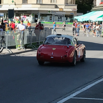
The planning solution from placeit is ideally suited for every type of outdoor event planning: cycling, triathlons, city festivals, markets and much more. Different map formats provide topographical and infrastructural information for planning, organization and logistics - for events of any size.
- Different map types (cadastral, base, aerial)
- Precise creation of points, routes and areas
- Structuring of objects in categories
- Multi-user system for integrating partners and service providers
- List outputs for planning quantities (barriers, connections, toilets, etc.)
- .
- Marking of neuralgic points using suitable icons
- Print preparation of any detailed sections
- Possibility of integration with our communication and gamification solutions
The solution is completely web-based and can also be easily operated on tablets. Ideal for meetings outside the office.